THE Government has handed over the 1958 boundary maps to the chiefs in Samfya District, with an aim to reduce boundary wrangles among traditional leaders.
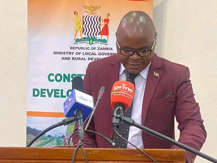
Local Government and Rural Development Permanent Secretary Nicholas Phiri said the wrangles were as a result of misinterpretation of boundaries by chiefdoms hence, the maps would help traditional leaders interpret boundaries.
Mr Phiri said in a speech read for him by Luapula Province Permanent Secretary Mighty Mumba during a meeting with chiefs that the government continued receiving reports from different chiefs who had disputes concerning land boundaries.
He said the Government was not happy with the boundary disputes that existed among chiefdoms as land was a huge asset to the nation and key to economic development.
Mr Phiri said it was necessary that issues determining around land boundaries were well managed as 90-per cent of the land in Zambia was customary land domiciled in chiefdoms.
“This is in a quest to address recurring land boundary disputes among traditional leaders which usually arise from lack of information and difficulties in interpreting the 1958 chiefdom boundaries,” Mr Phiri said.
He said President Hakainde Hichilema was concerned over the increasing chiefdom boundary disputes as the situation undermined developmental efforts.
During the meeting, 16 chiefs from Samfya and Mansa districts were present to receive the 1958 chiefdom boundary maps which were officially recognised and authorised by Government for chiefdom boundaries.
Senior Chief Mwewa of the Ngumbo people of Chifunabuli District said all chiefs knew their chiefdom boundaries but that some engaged in boundary disputes so that they could be recognised as powerful.
Chief Mwewa said the maps would promote unity and harmony among chiefdoms and hoped that they were narrative enough for easy reading.
Chief Kalasa Mukoso of the Ushi people of Kabende area in Samfya District said boundaries had brought about endless wrangles and commended the Government for distributing boundary maps as they would help solve the disputes.