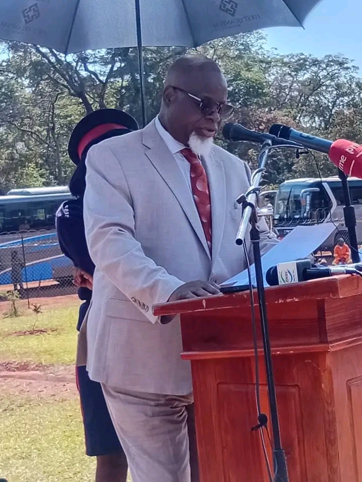
Technology and Science Minister Felix Mutati has underscored that when Zambia launches its own Satellite in space within the projected 2 years timeframe, it will enhance accuracy in weather forecast and provide updated imagery for purposes of mapping.
Mr Mutati has explained that the weather forecast given by the Zambia Meteorological Department has been not been so accurate especially where rainfall is involved, a situation that has paused as a challenge for planning in the agricultural sector as regards the onset, duration and distribution of rainfall.
Mr Mutati has attributed the inaccuracies to the use of the SADC regional weather forecast which is only downscaled to a Zambian context.
He said the launch of a Zambian owned satellite is likely to reduce the inaccuracies and build confidence especially among small scale farmers who are key players in contributing towards the country’s food security.
Mr Mutati said in the agricultural sector, the satellite will also be beneficial in plant security regarding the outbreak of migratory pests such as locusts and army worms.
Meanwhile, Mr Mutati said the satellite once launched in space will address challenges faced by the Zambia National Spatial Data Infrastructure which is under the Ministry of Lands and Natural Resources acting as a geospatial information system with a centralised database.
He said the ministry also implementing a national land audit and titling program, the satellite will come in handy to provide high accuracy in mapping areas of development among others, roads, waster disposal and other uses in physical planning and land use.
He noted that one of the challenges the Zambia National Spatial Data Infrastructure has faced is that the procured satellite imagery on the database is too outdated and as such, the satellite to be launched will enable access to updated satellite imagery to monitor development activities in real time.


